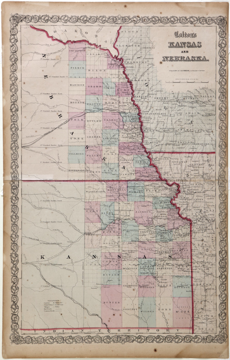
Colton’s 1857 Kansas and Nebraska map includes locations of forts and missions and indicates Indian lands. An official U.S. survey report of Osage treaty lands in 1836 concluded that the area could never be of use to settlers, and most of the emigrants on their way west ignored the rolling grasslands. Later surveyors, working in 1866 and 1867, agreed but still proceeded to lay out ranges and townships as a basis for possible future settlement.